
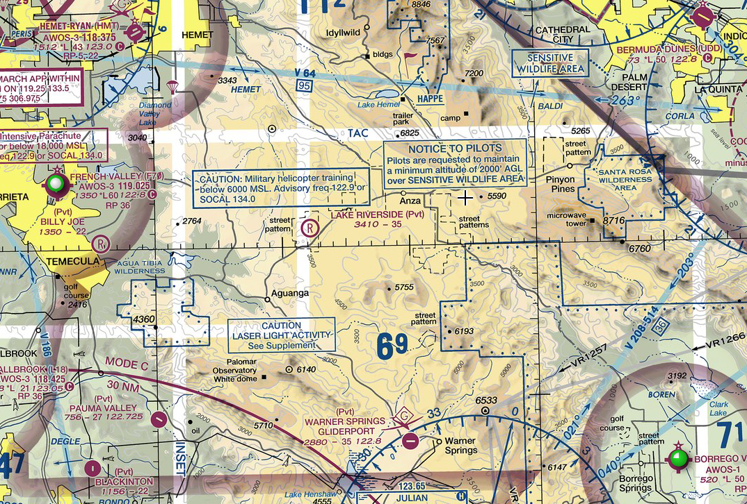
Class G Airspace
Class G airspace is that portion of the airspace that has not been designated as Class A, B, C, D, and E airspace. Class G airspace begins at the surface and continues up to but not including the overlying controlled airspace, or 14,500 feet MSL, or where Class E airspace begins, whichever occurs first.