
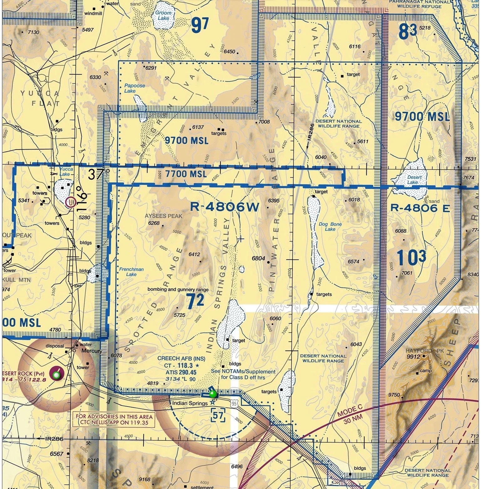
Restricted Area
Contains unusual, often invisible hazards to aircraft, flights must have permission from the controlling agency, if VFR. IFR flights will be cleared through or vectored around it.
Contains unusual, often invisible hazards to aircraft, flights must have permission from the controlling agency, if VFR. IFR flights will be cleared through or vectored around it.